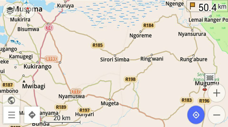
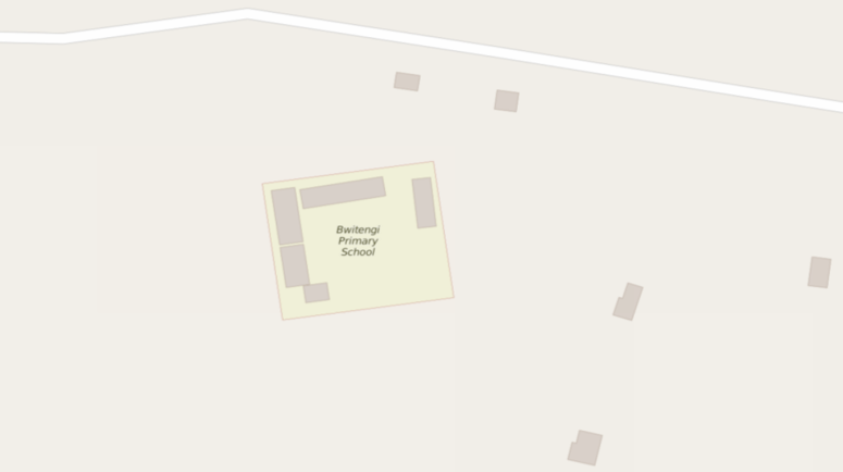
Janet is currently travelling and doing important work on the ground in Tanzania- including mapping more essential points of interest, and interacting with our dedicated local mappers!
While there, Janet has discovered the magic of Maps.me app, which allows one to: 1) download OSM maps of the area to your phone; 2) mark points of interest (schools, dispensaries, shops etc.) directly on the map as you go; 3) upload the points directly to OpenStreetMap once you have broadband connection & log in with your OSM username.
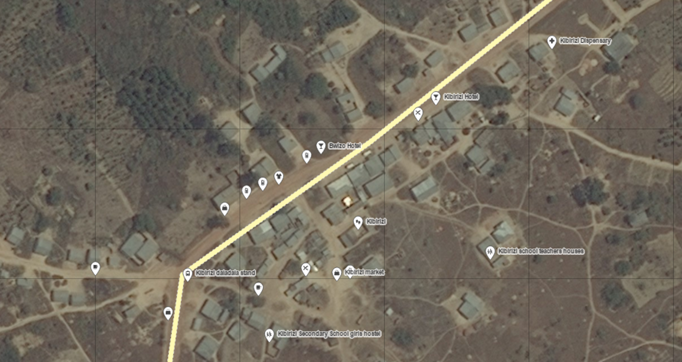
Here’s only some of the points Janet mapped in Kibirizi yesterday, which I accessed directly from openstreetmap.org:
Therefore we encourage everyone to switch from collecting data points on EpiCollect+ to Maps.me!
Note that for anyone participating in Mapping Competition in Tanzania, points added to Maps.me will count exactly the same as they did in EpiCollect+ – just let us know your username using this form: http://goo.gl/forms/CufyKMe576.
—-
Here’s how you add a point via Maps.me:
1. Open the app and click the menu button at the bottom right corner.
2. Click on the + icon at the bottom.
3. Drag the map so the + location marker is exactly at the location you want to map; click Done at the top right corner.
4. Select the type of point it is (e.g. School, a type of Shop etc.).
To send the points you added to openstreetmap.org, and this is very important!
5. Click on the menu button on the main screen again; then click Settings.
6. Click on Profile.
7. If there are any “Not sent” points, click on the -> icon at the top right corner. You will have to log in with your OpenStreetMap username or register for a new one.
The points will then be sent directly to publicly accessible map, which you can check on openstreetmap.org!
