Blogs

EpiCollect+ platform

Crowd2Map used to be run via EpiCollect+ platform, which allows locals to install an app on smartphones or tablets and register various resources and villages through a simple data collection form. By setting coordinates, attaching a photo and answering a few questions, each point can be registered in minutes.

The data is then sent to the central server, and all the data points can immediately be visualised on a map via the browser:

map view tanzania

In December 2015, Janet took some donated tablets and smartphones to several schools in Tanzania and kicked-off the data collection. Several months past, we already have over 200 points!

[update 2016-04-10] We now have nearly 1500 points on EpiCollect+!

Switching ground mapping to Maps.me app!

Janet is currently travelling and doing important work on the ground in Tanzania- including mapping more essential points of interest, and interacting with our dedicated local mappers!

While there, Janet has discovered the magic of Maps.me app, which allows one to: 1) download OSM maps of the area to your phone; 2) mark points of interest (schools, dispensaries, shops etc.) directly on the map as you go; 3) upload the points directly to OpenStreetMap once you have broadband connection & log in with your OSM username.

Here’s only some of the points Janet mapped in Kibirizi yesterday, which I accessed directly from openstreetmap.org:

kibirizi maps me
Therefore we encourage everyone to switch from collecting data points on EpiCollect+ to Maps.me!

Note that for anyone participating in Mapping Competition in Tanzania, points added to Maps.me will count exactly the same as they did in EpiCollect+ – just let us know your username using this form: http://goo.gl/forms/CufyKMe576.

—-

Here’s how you add a point via Maps.me:


1. Open the app and click the menu button at the bottom right corner.

2. Click on the  +  icon at the bottom.

3. Drag the map so the  +  location marker is exactly at the location you want to map; click Done at the top right corner.

4. Select the type of point it is (e.g. School, a type of Shop etc.).

To send the points you added to openstreetmap.org, and this is very important!

5. Click on the menu button on the main screen again; then click Settings.

6. Click on Profile.

7. If there are any “Not sent” points, click on the -> icon at the top right corner. You will have to log in with your OpenStreetMap username or register for a new one.

The points will then be sent directly to publicly accessible map, which you can check on openstreetmap.org!

Over 170 schools mapped in Mara for WomensDay2016!

hanks to the efforts of our amazing mapping volunteers during our Women’s Day challenge, we have gone through more than 200 entries of Mara primary schools, and 173 schools now appear on a public Open Street Map!

Current map of Primary schools in Mara region of Tanzania:

all after

“Before” shot – none of these schools appeared on Open Street Map before March 8th 2016! :

all before

“Before” shot of Bwiterngi Primary School at -1.89519, 34.66128:

-1.89519, 34.66128 before

Bwiterngi Primary School (-1.89519, 34.66128), along with 170+ other schools now located on Open Street Map, and can be looked up by name!  :

-1.89519, 34.66128 after

This work will greatly support the outreach efforts in the areas at risk of FGM and help take the girls to save havens, such as Mugumu Safe House.

All thanks to *all of you* who contributed your time and clicks on your laptops!

The effort will go on to map the rest of the Primary schools, Secondary schools and dispensaries in Mara, as well as other regions of Tanzania long-term! (Find instructions for participating here.)

So by all means – keep mapping! 
stay-calm-and-keep-on-mapping.png

Map your community and win a prize!

As part of our Crowd2Map project, we are organizing a COMPETITION for local communities in Tanzania to contribute as much resources to the map as possible!

You can win a 1 st prize of 100,000 Tz for the contributor of the most mapping points into EpiCollect Plus that are accurate and valid* by 6pm EAT on Thursday 24th March.

Additionally there will be a 2nd prize of 50,000 Tz and a 3rd prize of 25,000 Tz. Furthermore, everyone who contributes at least 10 such points will be awarded a personalised certificate praising their achievement. And you will have the satisfaction of helping your community getting on the map.

*Accurate means within 50m accuracy; valid means a correctly labelled point of a point of interest (eg school, water point, mobile phone signal, dispensary, church, office, shop, etc – but not an individual’s home) in Tanzania excluding Dar es Salaam, that has not already been added to EpiCollect Plus or OpenStreet Map.

You don’t need any mapping knowledge!

The competition takes place through our usual EpiCollect+ platform. The app will guide you through adding each point, grab its location, allow to add photo and ask a couple of questions about it. Instructions for downloading, using the app and adding the points can be found here: bit.ly/EpiTz

The points already collected can be looked up here: http://bit.ly/TanzMap

You can collect any points that seem relevant to you, particularly: schools, dispensaries, shops and business, transport facilities, repair shops, water points and so on.

This is your chance to map your local community and ensure it appears on the map!

We will be using the data you collect in our 3-way hackathon on 7th May, taking place in three cities: Dar es Salaam, London and Vilnius at the same time, and add the points to Open Street Map!

We hope the entire Tanzania, especially the rural areas, appear on the map soon!

If you need any help collecting the resources you can join the discussion on our Facebook page, email us at crowd2maptanzania@gmail.com, or use the form below to get in touch:

[contact-form to=’crowd2maptanzania@gmail.com’ subject='[Mapping Competition’][contact-field label=’Name’ type=’name’ required=’1’/][contact-field label=’Email’ type=’email’ required=’1’/][contact-field label=’Comment’ type=’textarea’ required=’1’/][/contact-form]

Official brochure about the competitionhttp://bit.ly/TZbrochure

Zeze Village

Putting Zeze on the map – a post by our friends MBONI YA VIJANA youth community in Zeze – paints a picture of the Zeze village, as well as documents the very beginnings of the Crowd2Map Tanzania, and how we hope to literally put it on the map. Why is that so important? Well, see for yourself:

This is how Zeze Village looks on Google Map at the moment: (marked point is the village market, -4.89913606, 30.0578204)

Zeze Google Map

This is how it looked liked 6 months ago on Open Street Map:

Map of Zeze

Sad, isn’t it.

Thank’s to a fantastic Missing Maps initiative in the Kigoma region in Tanzania, Zeze on Open Street Map now looks like this: (A little better? But still…)

Zeze OSM

(Note, that neither find “Zeze” if you search for it by name.)

This is how it actually looks via satellite:

Zeze Google Satellite

A little more than a blank space, eh..?

And we have nearly 20 points so far, marking its schools, shops and offices, to name a few:

Village Office in Zeze
Zeze Village Office
Zeze School Library
Zeze School Library (-4.91136445, 30.0474693)
Mtus Restaurant
Mtus Restaurant (-4.89908231, 30.05751572)
Kulu's Bicycle Shop (-4.89918704, 30.05762403)
Kulu’s Bicycle Shop (-4.89918704, 30.05762403)

… and there are many more.


Zeze is not as blank as the map might suggest, after all..?

Will you help us put Zeze on the map? Drop us a line below or reach out via email!

Triple Mapping Party – 7th May: Dar est Salaam, London, Vilnius

We are proud to announce the inaugural OSM Mapping Party of Crowd2Map Tanzania, which will take place on the 7th May 2016 in three different cities simultaneously: Dar es Salaam, London & Vilnius

Three Countries, Three Time Zones, Three Tech Hubs – One Crowd 2 Map Tanzania

LondonUCL, 9AM BST

Dar es SalaamBuni Hub, 11AM EAT

VilniusTechnarium, 11AM EEST

Register at Eventbrite: http://bit.ly/1YlUT9D, Facebook: http://bit.ly/1RLnlRW or Meetup (Vilnius): http://bit.ly/1Wkyhb4

Download and print our poster: http://bit.ly/1S9GSgJ

This will be a fun female-friendly competition-hackathon between the three “camps” of mappers – we will have a “live” link bridging mappers in the three cities via video conference and chat throughout the event. This will be coupled with a “challenge” in Tanzania, where locals will compete to add the most resources prior to the event (read more on the Mapping Competition for locals here).

Everyone is welcome – no mapping knowledge is required, simply a laptop and enthusiasm to contribute! Whether you are an OS mapper, hacker, humanitarian activist, or just someone looking to have a fun Saturday in an inspiring company – we’ll find a place for you!

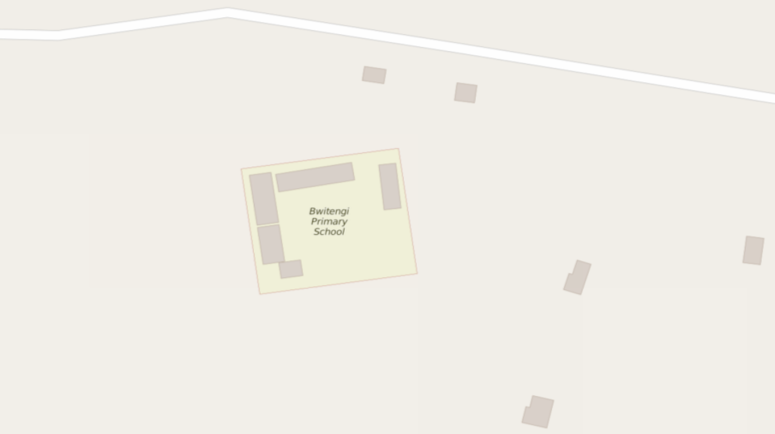
Learn why your mapping is helping to prevent FGM and put communities on the map.

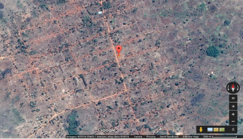
Why Dar es Salaam? We want to empower everyone in Tanzania and beyond to contribute to establishing better maps of the country hands-on! The event’s co-host Janet from Tanzanian Development Trust will be present on the day to lead the Dar’s team!

Why London? The project is being carried out in partnership with British Tanzania Society, who will be leading the events in London and Dar! We’re expecting quite a crowd of London OSM mappers to show up!

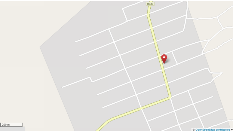
Why Vilnius? The project’s co-creator and co-host of the event Egle, researcher and practitioner of citizen science, will be leading the team of hackers here. Vilnius is the capital of Lithuania, a country ~14.5 times smaller than Tanzania, but has at least 30-50 times better mapped in OSM. Allow us to make a difference!

You can find more details and register for free here, or  join the event on Facebook

We are looking for SPONSORS,

who could support us in providing pizza and beverages to our helpful mappers on the day, and/or provide financial aid or donate smartphones to kick-off data collection in Tanzania.

If you have questions or suggestions about the event, or would like to become a sponsor, please contact us via emailTwitterFacebook or the form below.

For media inquiries please contact Egle or Janet directly.

[contact-form to=’crowd2maptanzania@gmail.com’ subject='[Mapping Party’][contact-field label=’Name’ type=’name’ required=’1’/][contact-field label=’Email’ type=’email’ required=’1’/][contact-field label=’Website’ type=’url’/][contact-field label=’Comment’ type=’textarea’ required=’1’/][/contact-form]