Crowd2Map Tanzania has a cohort of 16,000 volunteers based in Tanzania and around the world, all of whom are driven by a passion to help rural communities in Tanzania and to ensure girls and women in these areas are empowered. As we celebrate 6 years of mapping, we take a look at some of the work and partnerships that we have developed to ensure Tanzania is mapped.
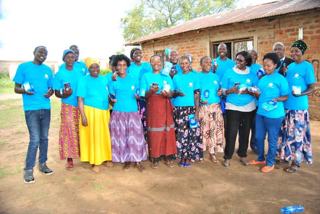
Crowd2Map Tanzania has been training local activists (NGOs), Local Government, communities and Youth Mappers Chapters in Tanzania on open data and mapping and how can they integrate mapping knowledge with their activities to solve community challenges.
Some of the tools used for mapping and open data that Crowd2Map has been training these group on are:
- Smartphone applications such as Maps.me, OSMAnd, ODK and Mapillary for mapping features around their community and collecting data for different uses
- Other tools that require the use of a computer for mapping and Data collection such as ID Editor, JOSM and Kobo toolbox
Some of the NGO’s have managed to win Community mapping microgrants and are running projects in their communities in various areas in Tanzania to share mapping and open data knowledge with a wider audience.
Tanzanian NGOs who have been trained include:
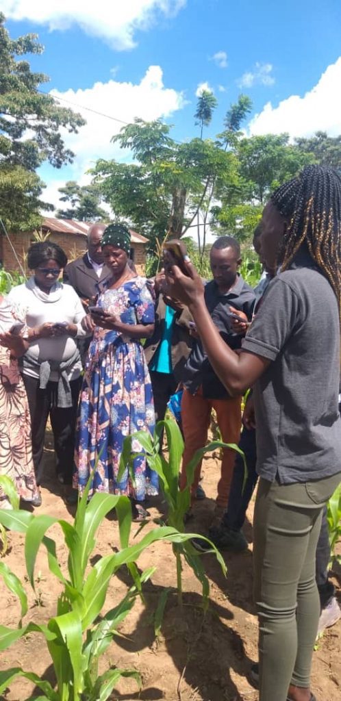
- Agri-Thamani based in Bukoba Tanzania are running garden community mapping and Schools mapping project in their community
- Red Cross Katavi community are mapping vulnerable areas around Mine sites in Katavi
- Good Harvest Organization who were trained in the use of Open Data Tools and other internet-enabled devices
- LAVISHENI group in Mwanza mapping vulnerable areas for GBV cases in their community
- Institute of Rural Development and Planning College in Dodoma Youth mappers are mapping Dump sites in Dodoma
- Serengeti Tourism College Youth Mappers are involved in mapping health centre facilities in Mugumu-Serengeti
Institute of Accountancy in Arusha (IAA) Youth Mappers, Tumaini College in Arusha Youth Mappers, Institute of Rural Development and Planning Youth Mappers in Mwanza are still continuing with mapping Training.
Miller’s Group in Muleba Tanzania, Kibondo mapping Group, ESTL NGO are still continuing with mapping and Open Data training.
Local Government in Serengeti and Singida are now involved in mapping and Open data training conducted by Crowd2Map.
We are seeing a great deal of interest from these local and broader organisations who are understanding of the benefit of accurate maps for the growth of Tanzanian communities.
You can watch the recording of our 6th birthday event here (you will be taken to YouTube).
If you are interested in becoming a volunteer, you can find out more and get involved here.